 |
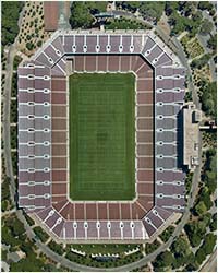
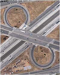
Vertical Info: (Planimetric) These images look straight down and deliver technical information. It's like looking at your feet while standing. Or, imagine looking at a mechanical drawing of a floor plan, except in color.
IFC can capture single or |
 |
|
|
 |
 |
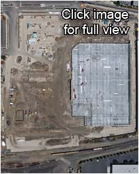
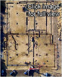
During early construction, more
information is available looking straight down. Underground installations and foundation infrastructure sometimes need to be reviewed at a later date. You have only one opportunity to capture this information. Contact IFC today. |
 |